
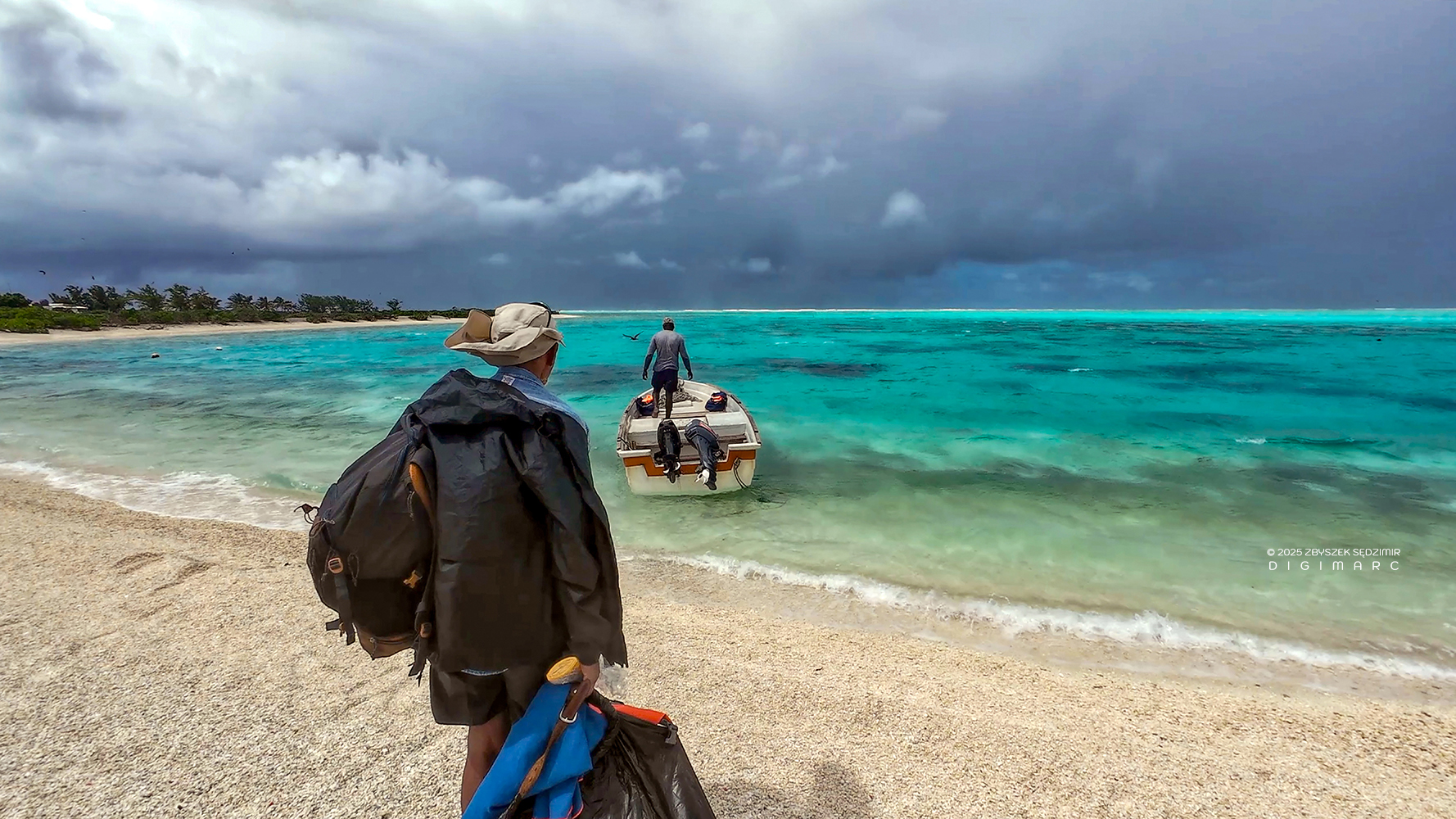
Saint Brandon Expedition
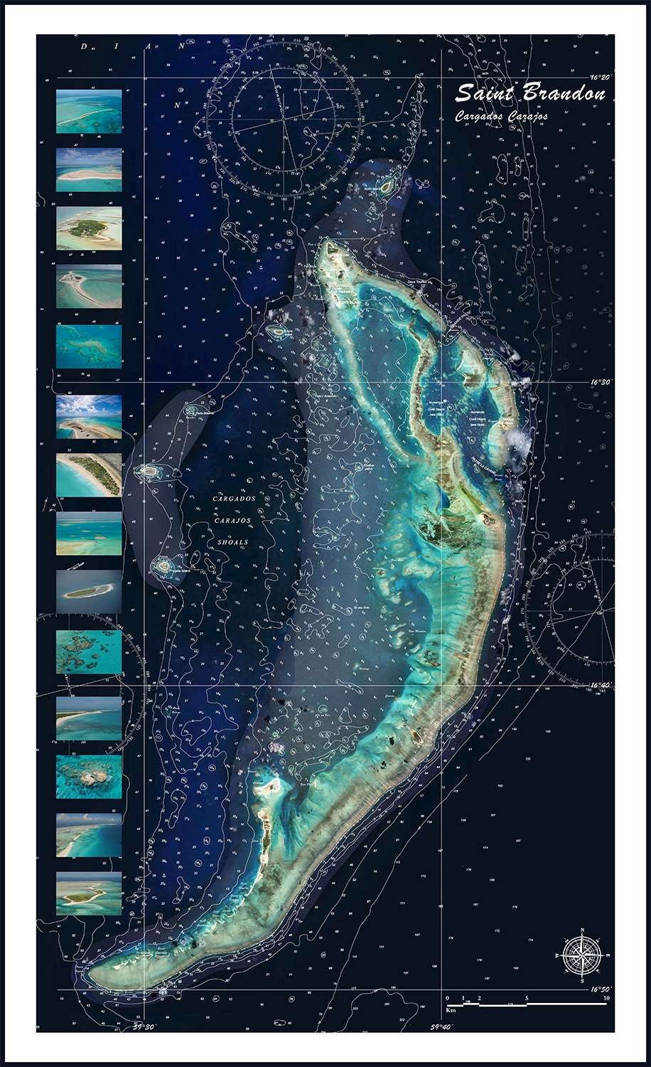
Saint Brandon, also known as Cargados Carajos Shoals is an isolated archipelago located in the southwestern Indian Ocean on the Mascarene Plateau, approximately 430 km northeast of Mauritius. It consists of sandbanks, shoals, and around thirty islands. The islands are low-lying and can be heavily flooded during storms and annual tropical cyclones, causing significant damage.
The total area of the islets, sandbanks, etc., is about 5 km2, spread over an area of 1,232 km2. The main lagoon is approximately 300 km2 in size and features a coral reef stretching 130 km in length. Albatross Island, at 6 m (20 feet) above sea level, is the highest point and the largest island in the group. The archipelago is dynamic; islands form, split, merge, and change in size with each storm.
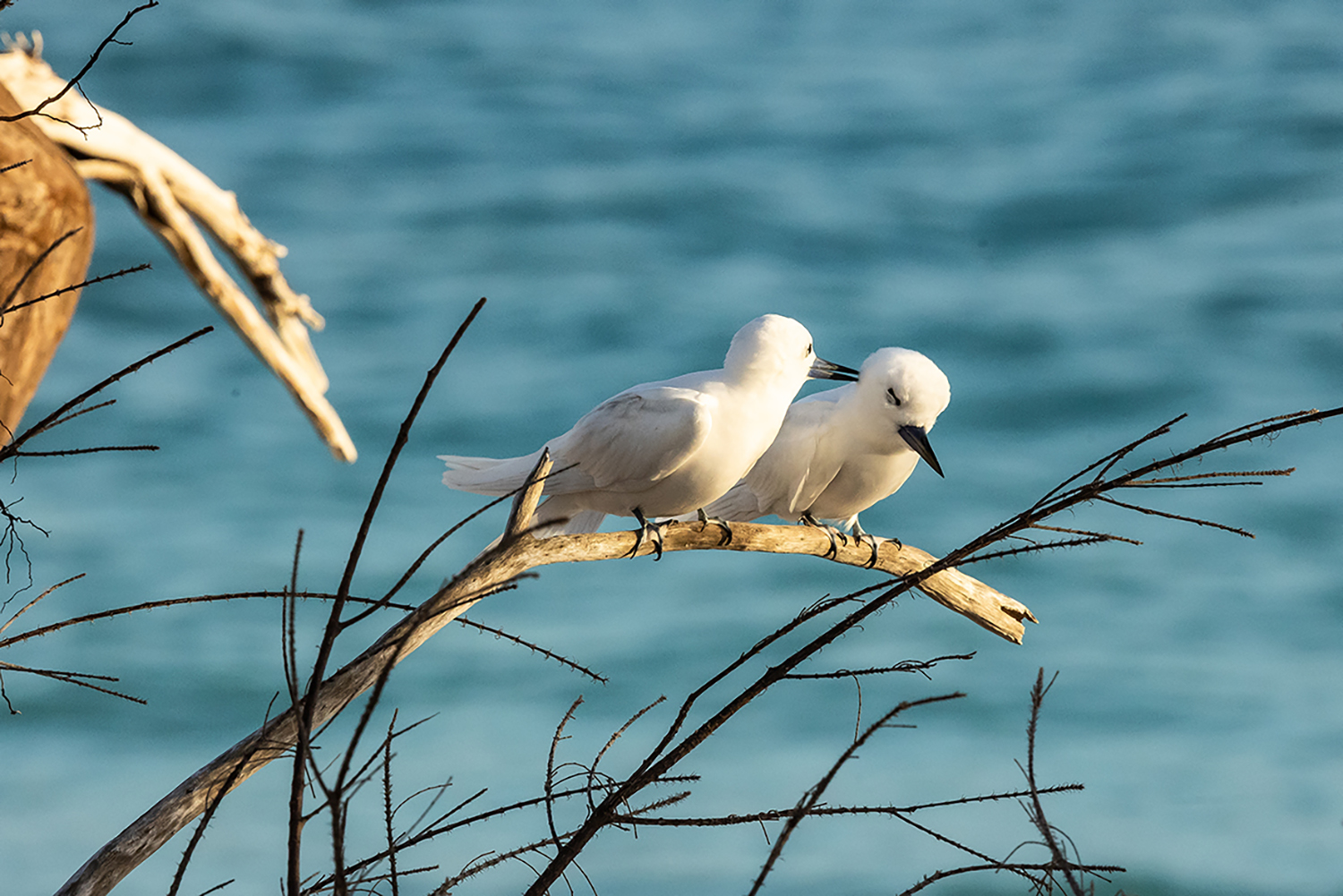
St. Brandon has more than 200 km2 of reef habitat, possibly one of the most biodiverse ecosystems on earth holding over 25% of known marine species when these cover less than 1% of the sea floor..
In the West, there is a coral bank and a fringing reef, dominated by staghorn Acropora, classified as threatened by the US National Marine Fisheries Service in 2014. To the East of the atoll, there is a greater coral diversity including a rare species of the Pavona coral. There are persistent, but as yet unproven rumours, of the presence of rare brain corals in St. Brandon waiting to be discovered and preserved for posterity.1
Copyright © 2025 Zbyszek SĘDZIMIR, All rights reserved.
